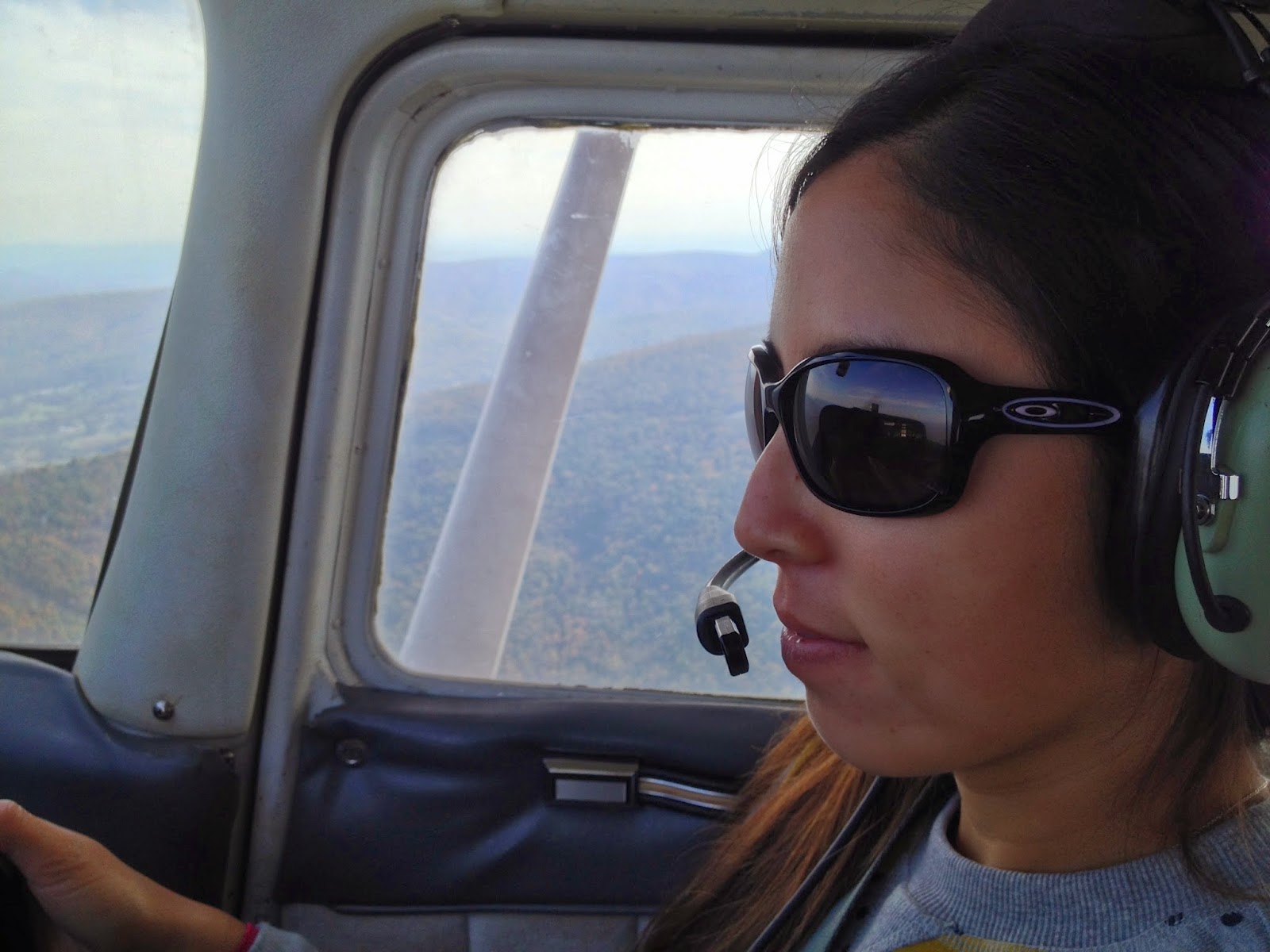
As a pilot and ex-Virginian, I found myself in Virginia in the fall. Which of course means - Shenandoah Valley color viewing!
Now Virginia is nowhere near as pilot-friendly as SoCal. As we've
discussed before, it's a free country, but some places are a bit less free than others. I was staying in the no-fly zone and it was quite the drive to even get to the you-can-fly-but-it's-complicated zone. So I needed more time free to go up - the time for driving there and back as well as the usual preflight and time for the actual trip.
Beyond that there are also weather issues. Virginia gets more rain and is much colder in the fall and winter. Leesburg, my chosen airport away from home, is also prone to high winds. Those things all impact the safety and comfortability of flying.
So actually getting out to the Shenandoah Valley took a lot of time and effort and cancelations. For hour 87, we finally made it. Joining me were my trusty first officer Melch and her cousin, Mari.
The trip went smoothly with good weather and good visibility (a bit of haze notwithstanding). We had a good time following the river, pointing out airports along the way, and setting up for the small rural runway at Luray.
I started my run-up a bit close to the main building at the airport on departure, prompting a cranky response from the airport personnel, but other than that the flight was well-executed.
I've included a few photos here, but I have a
small album and a
large one on Flickr if you're interested.
 |
| The Shenandoah River |
 |
| Typical Virginia countryside |
 |
| Near Luray |
 |
| Totally fake-looking typical NOVA suburban sprawl |
 |
| Mari enjoying the view |
 |
| Not quite as big as SBA, but it'll do! |
 |
| Cousins at Luray |
 |
| Mari getting a chance to fly |


No comments:
Post a Comment